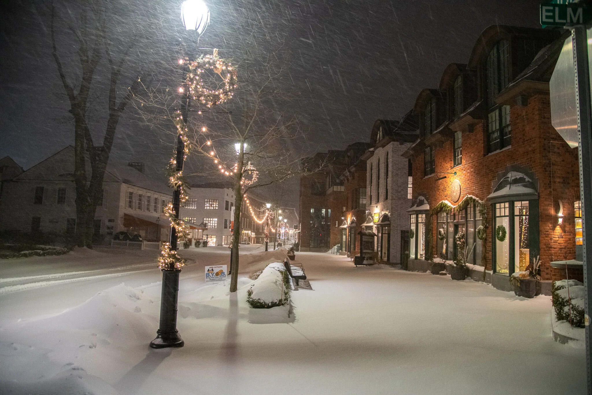
Gallery: A View of the Storm from Overnight Community Dec 17 Written By James Bairaktaris Photos of the storm during the overnight hours. All photos by Jaime Bairaktaris. View fullsize Church Lane View fullsize Westport Public Library View fullsize Main Street View fullsize Myrtle Avenue View fullsize Town Hall View fullsize David Judah House, Old Hill Road View fullsize Old Hill Road View fullsize Kings Highway North View fullsize Harbor Road Flooding View fullsize Ferry Lane Snow Stacks View fullsize Saugatuck Bridge Crossing View fullsize Bridge Street View fullsize Riverside Avenue View fullsize Compo Beach Waves View fullsize Hills Point Road Waves View fullsize Empty I95 View fullsize Morningside Drive North View fullsize Main Street Clearing View fullsize Route 1 Bridge Clearing View fullsize Deer on Thomas Road James Bairaktaris
Gallery: A View of the Storm from Overnight Community Dec 17 Written By James Bairaktaris Photos of the storm during the overnight hours. All photos by Jaime Bairaktaris. View fullsize Church Lane View fullsize Westport Public Library View fullsize Main Street View fullsize Myrtle Avenue View fullsize Town Hall View fullsize David Judah House, Old Hill Road View fullsize Old Hill Road View fullsize Kings Highway North View fullsize Harbor Road Flooding View fullsize Ferry Lane Snow Stacks View fullsize Saugatuck Bridge Crossing View fullsize Bridge Street View fullsize Riverside Avenue View fullsize Compo Beach Waves View fullsize Hills Point Road Waves View fullsize Empty I95 View fullsize Morningside Drive North View fullsize Main Street Clearing View fullsize Route 1 Bridge Clearing View fullsize Deer on Thomas Road James Bairaktaris