

Enjoying the Day Off
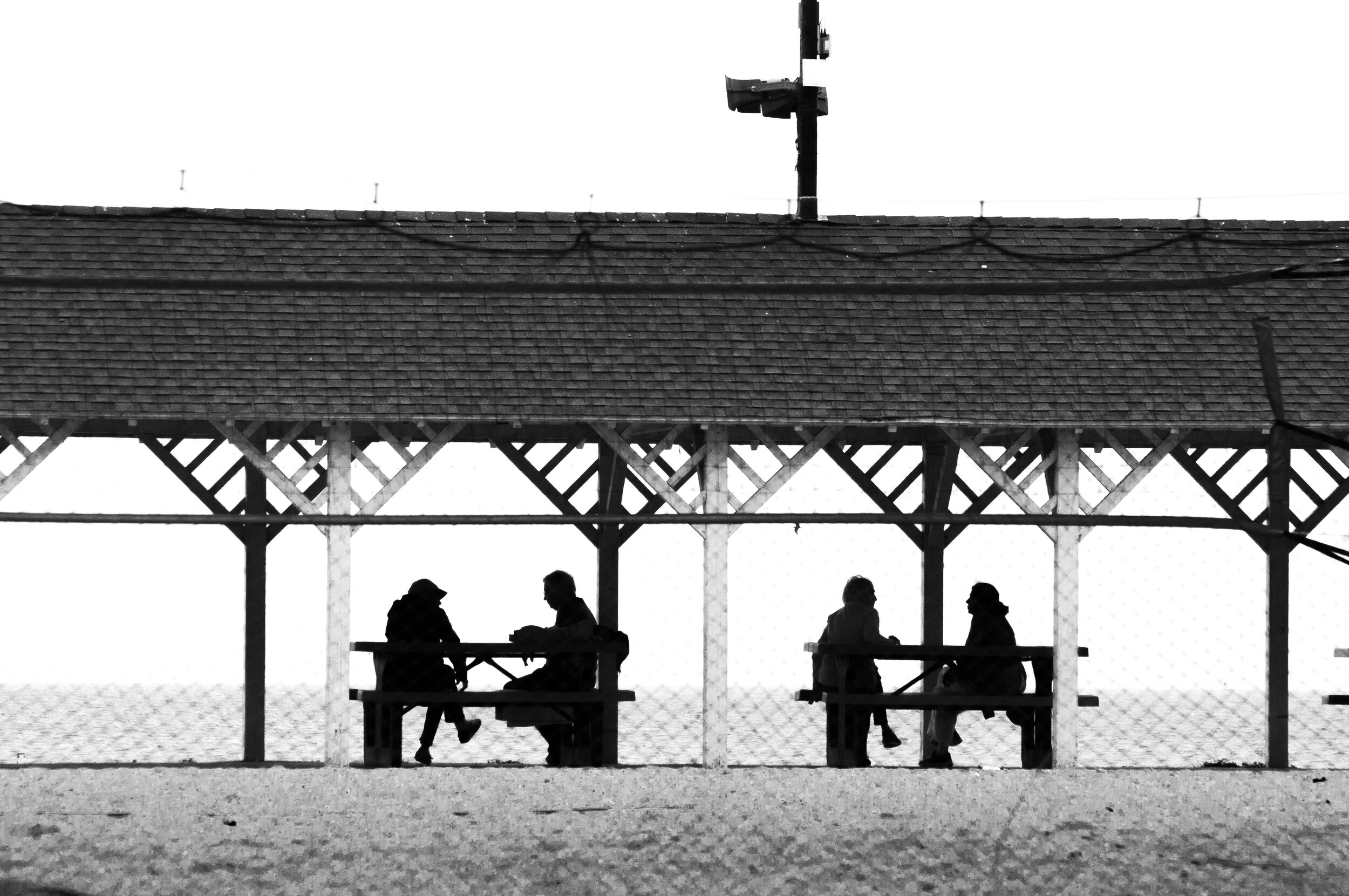
With many stores closed and schedules cleared ahead of the forecast storm, many community members enjoyed the newfound time-off as Westport escaped Henri’s damaging winds and storm surges that are battering the northeast. Compo Beach was busy with pedestrians earlier in the day as the skies were calm for several hours, with the historic pavilion sheltering friends from the midday drizzle. WestportLocal.com photo
All Good at Old Mill

Nate Bernstein (13) and Sam Klatchko (13) were “vibing” this afternoon on the Compo Mill Cove boardwalk as they joined dozens of community members in walking the shoreline while the weather was clear. Many homes in the private island community remained vacated and boarded up today as bleak forecasts caused many to leave the flood-prone neighborhood. WestportLocal.com photo
Henri: Swing and a Miss? Winds, Storm Surge Threats Downgraded; Heavy Rain Still a Threat

Compo Mill Cove homes boarded up and evacuated as a precaution ahead of Hurricane Henri. Editor’s Take
With Storm Henri making landfall around 12:30 today in the area of Westerly, Rhode Island - Westporters have been left to wonder: is this it? The National Weather Service’s NYC office described today that the storm’s “weaker and further east track” has changed forecasts considerably - with wind and storm surge forecasts both updated to reflect maximum wind gusts of 50MPH and storm surges of 1 - 2 feet.
However as rain bands continue to swirl into the northwest, the possibility of heavy rainbands stalling over the region this evening still threaten localized flash flooding as the bands make their way back through the area - with considerable focus on the NYC, New Jersey, and southwestern Connecticut communities. Special consideration is being given to Manhattan, where Midtown has already experienced over five inches of rain.
With grounds saturated with water from a damp summer season, even the weaker wind forecasts could cause considerable damage to powergrid and local infrastructure as trees can easily be uprooted, falling onto utility lines. As of 3:45 this afternoon, just over 30,000 Eversource customers were without power - majorly located in the eastern portion of the State.
So, is this it? Although the storm surges and winds are less of a concern, the presence of heavy rain bands and gusty winds are still something to watch - with flash flooding still on the table as we head into Sunday evening.
The National Weather Service Updated Key Points:
Winds: 25-40 mph sustained winds with gusts to 50 mph through the evening.
Rain: 2” - 4” with heavier rain bands remaining to the northwest of the region. Rain will continue to come in waves as the storm moves out of the region throughout the night, with chances continuing into tomorrow.
Storm Surge: Minor to Moderate inundation threat this evening– 1 to 2 ft, locally 3 ft.
Flash Flooding: Still a possibility this evening as heavy rain bands may stall over the New York, New Jersey, Connecticut area.
Henri by the Numbers:

National Weather Service, NYC rainfall forecasts show Westport in a small area of communities where 2-4” of rainfall is expected. Top Wind Speeds:
Point Judith, Rhode Island: 70 MPH
New London, Connecticut: 49 MPH
East Hampton, New York: 35 MPH
Montauk, New York: 36 MPH
Rainfall Amounts:
Midtown Manhattan: 5.45 inches
New London, Connecticut: 3.70 inches
Stamford, Connecticut: 1.03 inches
Watching for the Storm from Dad’s Shoulders

As Tropical Storm Henri tracks east and arrives later than initially forecast, Compo was rainy but calm this morning as one family walked the beach. Homes in the background can be seen boarded up on Compo Mill Cove. WestportLocal.com photo